Geography Crossword
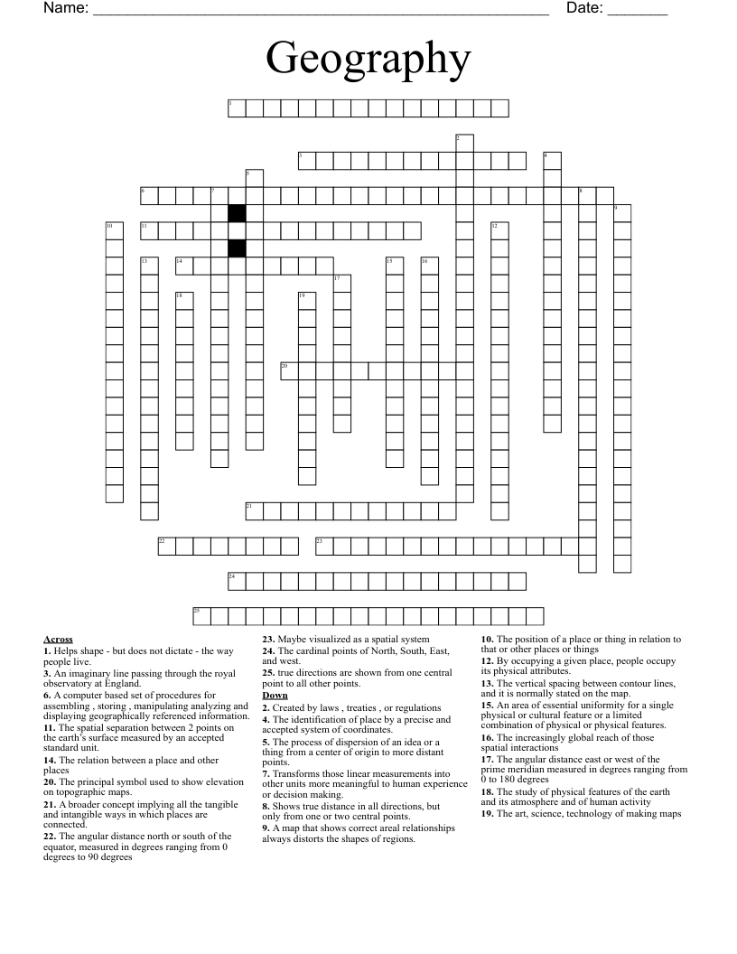
This printable crossword puzzle on the topic of Physical Geography has 25 clues. Answers range from 8 to 27 letters long. This crossword is also available to download as a Microsoft Word document or a PDF.
Description
The study of physical features of the earth and its atmosphere and of human activity
The identification of place by a precise and accepted system of coordinates.
The position of a place or thing in relation to that or other places or things
The relation between a place and other places
The cardinal points of North, South, East, and west.
The spatial separation between 2 points on the earth’s surface measured by an accepted standard unit.
Transforms those linear measurements into other units more meaningful to human experience or decision making.
Helps shape - but does not dictate - the way people live.
By occupying a given place, people occupy its physical attributes.
A broader concept implying all the tangible and intangible ways in which places are connected.
The process of dispersion of an idea or a thing from a center of origin to more distant points.
The increasingly global reach of those spatial interactions
Created by laws , treaties , or regulations
An area of essential uniformity for a single physical or cultural feature or a limited combination of physical or physical features.
Maybe visualized as a spatial system
The art, science, technology of making maps
The angular distance north or south of the equator, measured in degrees ranging from 0 degrees to 90 degrees
The angular distance east or west of the prime meridian measured in degrees ranging from 0 to 180 degrees
An imaginary line passing through the royal observatory at England.
A map that shows correct areal relationships always distorts the shapes of regions.
Shows true distance in all directions, but only from one or two central points.
true directions are shown from one central point to all other points.
The vertical spacing between contour lines, and it is normally stated on the map.
The principal symbol used to show elevation on topographic maps.
A computer based set of procedures for assembling , storing , manipulating analyzing and displaying geographically referenced information.